


Pon
Wt
Śr
Czw
Pt
Sob
Ndz
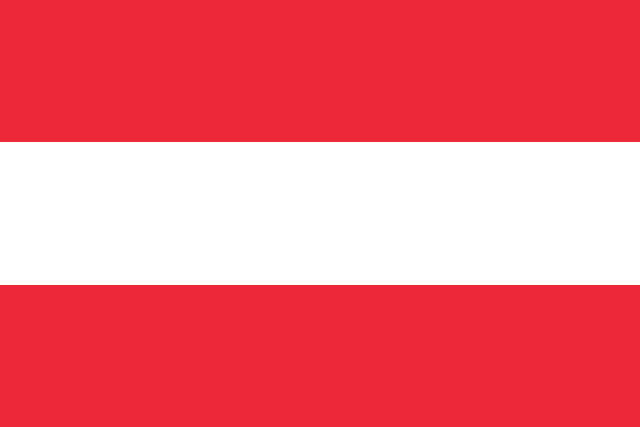
Republic of Austria National Day
Austria, largely mountainous landlocked country of south-central Europe. Together with Switzerland, it forms what has been characterized as the neutral core of Europe, notwithstanding Austria’s full membership since 1995 in the supranational European Union (EU). A great part of Austria’s prominence can be attributed to its geographic position. It is at the centre of European traffic between east and west along the great Danubian trade route and between north and south through the magnificent Alpine passes, thus embedding the country within a variety of political and economic systems. In the decades following the collapse in 1918 of Austria-Hungary, the multinational empire of which it had been the heart, this small country experienced more than a quarter century of social and economic turbulence and a Nazi dictatorship. Yet the establishment of permanent neutrality in 1955, associated with the withdrawal of the Allied troops that had occupied the country since the end of World War II, enabled Austria to develop into a stable and socially progressive nation with a flourishing cultural life reminiscent of its earlier days of international musical glory. Its social and economic institutions too have been characterized by new forms and a spirit of cooperation, and, although political and social problems remain, they have not erupted with the intensity evidenced in other countries of the Continent. The capital of Austria is historic Vienna (Wien), the former seat of the Holy Roman Empire and a city renowned for its architecture. Land Austria is bordered to the north by the Czech Republic, to the northeast by Slovakia, to the east by Hungary, to the south by Slovenia, to the southwest by Italy, to the west by Switzerland and Liechtenstein, and to the northwest by Germany. It extends roughly 360 miles (580 km) from east to west. Relief Mountains and forests give the Austrian landscape its character, although in the northeastern part of the country the Danube River winds between the eastern edge of the Alps and the hills of Bohemia and Moravia in its journey toward the Alföld, or Hungarian Plain. Vienna lies in the area where the Danube emerges from between the mountains into the drier plains. The Austrian Alps form the physical backbone of the country. They may be subdivided into a northern and a southern limestone range, each of which is composed of rugged mountains. These two ranges are separated by a central range that is softer in form and outline and composed of crystalline rocks. The Alpine landscape offers a complex geologic and topographical pattern, with the highest elevation—the Grossglockner (12,460 feet [3,798 metres])—rising toward the west. The western Austrian Länder (states) of Vorarlberg, Tirol, and Salzburg are characterized by the majestic mountains and magnificent scenery of the high Alps. This high Alpine character also extends to the western part of the state of Kärnten (Carinthia), to the Salzkammergut region of central Austria, and to the Alpine blocks of the state of Steiermark (Styria). North of the massive Alpine spur lies a hilly subalpine region, stretching between the northern Alps and the Danube and encompassing the northern portion of the state of Oberösterreich (Upper Austria). To the north of the river is a richly wooded foothill area that includes a portion of the Bohemian Massif, which extends across the Czech border into the state of Niederösterreich (Lower Austria). This part of Austria is furrowed by many valleys that for centuries served as passageways leading to the east and southeast of Europe and even—in the case of medieval pilgrims and Crusaders—to the Holy Land. The lowland area east of Vienna, together with the northern part of the state of Burgenland, may be regarded as a western extension of the Little Alföld (Little Hungarian Plain). Drainage Austria is a land of lakes, many of them a legacy of the Pleistocene Epoch (i.e., about 2,600,000 to about 11,700 years ago), during which glacial erosion scooped out mountain lakes in the central Alpine district, notably around the Salzkammergut. The largest lakes—lying partly in the territory of neighbouring countries—are Lake Constance (Bodensee) in the west and the marshy Neusiedler Lake (Neusiedlersee) in the east. Nearly all Austrian territory drains into the Danube River system. The main watershed between the Black Sea and the North Sea runs across northern Austria, in some places lying only about 22 miles (35 km) from the Danube, while to the west the watershed between the Danube and the river systems emptying into the Atlantic and the Mediterranean coincides with the western political boundary of Austria. In the south the Julian and Carnic (Karnische) Alps and, farther to the west, the main Alpine range mark the watershed of the region draining into the Po River of northern Italy. Climate of Austria The wooded slopes of the Alps and the small portion of the plains of southeastern Europe are characterized by differing climatic zones. The prevailing wind is from the west, and, therefore, humidity is highest in the west, diminishing toward the east. The wetter western regions of Austria have an Atlantic climate with a yearly rainfall of about 40 inches (1,000 mm); the drier eastern regions, under the influence of the more continental type of climate, have less precipitation. In the lowlands and the hilly eastern regions, the median temperature ranges from about 30 °F (−1 °C) in January to about 68 °F (20 °C) in July. In those regions above 10,000 feet (3,000 metres), by contrast, the temperature range is between about 12 °F (−11 °C) in January, with a snow cover of approximately 10 feet (3 metres), and about 36 °F (2 °C) in July, with roughly 5 feet (1.5 metres) of snow cover. Plant and animal life Two-thirds of the total area of Austria is covered by woods and meadows. Forests occupy some two-fifths of the country, which is one of the most densely forested in central Europe. Spruce dominates the forests, with larch, beech, and oak also making a significant contribution. In the Alpine and foothill regions coniferous trees predominate, while broad-leaved deciduous trees are more frequent in the warmer zones. Wild animals, many protected by conservation laws, include the brown bear, eagles, buzzards, falcons, owls, cranes, swans, and storks. Game hunting is restricted to certain periods of the year, with deer and rabbits the most frequent quarry. Austrian rivers nurture river and rainbow trout, grayling, pike, perch, and carp. People - Ethnic groups Ethnic Austrians constitute the vast majority of the population. Small but significant groups of German-speaking Swiss and ethnic Germans also reside in the country. Serbs, Bosniaks (Muslims from Bosnia and Herzegovina; living mainly in the larger cities), Turks (living primarily in Vienna), Hungarians and Croats (living mainly in Burgenland), and Slovenes (living mainly in Kärnten) constitute the major ethnic minorities. Languages of Austria Although Croatian, Hungarian, Slovenian, Turkish, and other languages are spoken by the various minority groups, nearly all people in Austria speak German. The dialect of German spoken in Austria, except in the west, is Bavarian, sometimes called Austro-Bavarian. About seven million people speak Bavarian in Austria. A Middle Bavarian subdialect is spoken chiefly in Ober- and Niederösterreich as well as in Vienna. A Southern Bavarian subdialect is spoken in Tirol (including southern Tirol), in Kärnten, and in parts of Steiermark. The speech of most of the remainder of the country’s inhabitants tends to shade into one or the other of those subdialects. In the west, however, an Alemannic (Swiss) dialect prevails: the inhabitants of Vorarlberg and parts of western Tirol are Alemannic in origin, having cultural and dialectal affinities with the German Swiss to the west and Swabians in Germany to the north. Religion About three-fourths of Austrians are Christian. The overwhelming majority of Christians are adherents to Roman Catholicism; Protestants (mainly Lutherans) and Orthodox Christians form smaller groups. Islam has a small but important following, mainly among the Bosniak and Turk populations. Vienna’s Jewish population, which was all but destroyed between 1938 and 1945 (see Holocaust), has increased steadily since that time but remains tiny. More than one-tenth of the population is nonreligious. Settlement patterns The pattern of rural settlement in Austria was shaped centuries ago by the exigencies of the Alpine environment, and new rural building is still influenced by these ancient traditions, especially in the west and in the centre of the country. By contrast, rural housing in the eastern parts of the country, especially in the lowlands, is dominated more by agricultural needs than by harsh weather conditions. While Austria is mountainous, it is also a highly urbanized country. More than half of the population lives in cities and towns of more than 10,000 residents, and about one-fourth of the total population lives in the Vienna urban agglomeration. Graz, Austria’s second largest city, is the gateway to the Balkans. Linz is an important industrial centre. Innsbruck, situated just north of Brenner Pass, is the rail centre through which all the mainline rail traffic of western Austria passes, north-south and east-west. Salzburg is a centre of music and Baroque architecture. Klagenfurt lies astride routes that provide access to both Italy and the Balkans. More … Score: https://www.britannica.com/place/Austria
Czytaj więcej2026/10/26

Zambia Tourism
In nature, there are more symbiotic relationships than we could ever imagine. From the garden in our backyard to the great African wilderness, photographer and ...
Czytaj więcej2026/10/26
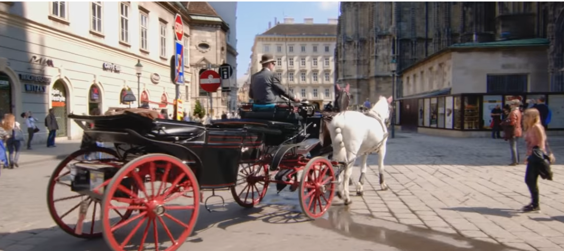
Welcome to Austria
„Welcome to Austria“ is a short film by the Austrian Federal Ministry for Europe, Integration and Foreign Affairs which provides immigrants with an overview of the key topics of the country’s integration policy: e.g. life in Austria, the values of the society as well as the importance of education, employment and learning the national language.
Czytaj więcej2026/10/25
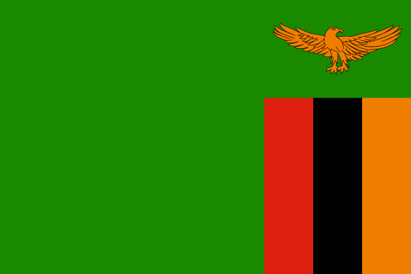
Independence day of the Republic of Zambia
Zambia, landlocked country in south-central Africa. It is situated on a high plateau and takes its name from the Zambezi River, which drains all but a small northern part of the country. Large parts of Zambia are thinly populated. Much of population is concentrated in the country’s most developed area—known as the Line of Rail—which is served by the railway linking the Copperbelt with Lusaka, the capital, and with the border town of Livingstone. Land Zambia has a long land border on the west with Angola but is divided from its neighbours to the south by the Zambezi River. To the southwest is the thin projection of Namibian territory known as the Caprivi Strip, at the eastern end of which Zambia and three of its neighbours (Namibia, Botswana, and Zimbabwe) appear to meet at a point—a “quadripoint”—although the precise nature of the meeting is contested. Man-made Lake Kariba now forms part of the river border with Zimbabwe. Zambia’s other neighbours include Mozambique to the southeast, Malawi to the east, and Tanzania to the northeast. The long border with the Democratic Republic of the Congo starts at Lake Tanganyika, crosses to Lake Mweru, and follows the Luapula River to the Pedicle, a wedge of Congolese territory that cuts deep into Zambia to give the country its distinctive butterfly shape. Westward from the Pedicle the frontier follows the Zambezi-Congo watershed to the Angolan border. Relief Most of Zambia forms part of the high plateau of this part of Africa (3,000 to 5,000 feet [900 to 1,500 metres] above sea level). Major relief features occur where river valleys and rifted troughs, some lake-filled, dissect its surface. Lake Tanganyika lies some 2,000 feet (600 metres) below the plateau, and the largest rift, that containing the Luangwa River, is a serious barrier to communications. The highest elevations occur in the east, where the Nyika Plateau on the Malawian border is generally over 6,000 feet (1,800 metres), rising to more than 7,000 feet (2,100 metres) in the Mafinga Hills. The general slope of the plateau is toward the southwest, although the drainage of the Zambezi turns eastward to the Indian Ocean. Over most of the country, ancient crystalline rocks are exposed, the product of prolonged erosion processes. In western Zambia they are overlain by younger sandy deposits, relicts of a once more-extensive Kalahari desert. In central and eastern parts of the country, downwarping of the plateau surface forms swamp- or lake-filled depressions (including Lake Bangweulu and the Lukanga Swamp); in more elevated regions, ridges and isolated hills made up of more-resistant rocks punctuate otherwise smooth skylines. The oldest rocks in the country are volcanics and granites of the Bangweulu block in the northeast. These are 2.5 billion years and older and have been unaffected by orogenic processes since Precambrian times (about 4 billion to 540 million years ago). This old structure is partly covered by ancient sedimentary rocks, and together they constitute the basement complex. Sedimentaries of the Katangan Complex (about 620 million years old) are extensive in the central areas, and mineralization of these rocks is the basis of Zambia’s mining industry. Later sedimentary rocks of the Karoo (Karroo) System filled rifted troughs in the plateau surface, some of which, as in the Luangwa and middle Zambezi valleys, have been partially re-excavated. Coal seams occur in Karoo rocks to the north of Lake Kariba. These structural troughs are ancient features. Younger rifts in the north, part of the East African Rift System, are occupied by Lakes Mweru and Tanganyika. Karoo and older sedimentaries are also found in the west, buried under the predominantly sandy deposits of the Kalahari System. Drainage The continental divide—between the Congo River drainage, which flows to the Atlantic Ocean, and that of the Zambezi, which drains into the Indian Ocean—runs along the border shared by Zambia and the Democratic Republic of the Congo west of the Pedicle and then northeastward to the border with Tanzania. Both the Luapula (which drains the Bangweulu basin into Lake Mweru) and Lake Tanganyika are tributary to the Congo. The rest of the country lies within the Zambezi basin, the river itself rising in northwestern Zambia and circling through Angola before traversing the sandy plains of western Zambia. At Victoria Falls it drops some 300 feet (90 metres) into a milewide chasm at the head of the gorge leading down to Lake Kariba and the troughlike middle part of its valley. It has two main tributaries in Zambia. Rising on the Copperbelt, the Kafue River drains the Lukanga Swamp and Kafue Flats before an abrupt descent to the Zambezi. The Luangwa River, mostly confined within its rift trough, is quite different. The Bangweulu Swamps and the Kafue Flats are wetlands of international ecological importance. Soils Zambia is divided into three main agroecological regions based primarily upon annual precipitation; there is further variation within regions based on factors such as soil type, temperature, precipitation, and elevation. The first region includes portions of the southwestern corner of the country, as well as the country’s major valleys, such as the Gwembe, Zambezi, and Luangwa valleys. This region is the driest and most prone to drought, and its soils contain low levels of organic matter, low nutrient reserves, and high acidity levels. The second region spans the central part of the country and is divided into two subregions: the degraded plateau of the southeast, south-centre, and southwest and the Kalahari Sands and the Zambezi floodplain in the west. Soils of the Kalahari Sands have little agricultural potential and are mainly under woodland. The third region is situated in the northern part of the country; its soils tend to be highly weathered and leached, with a low pH. Climate of Zambia Although Zambia lies within the tropics, its climate is modified by the altitude of the country and is generally favourable to human settlement and comfort. The marked seasonal pattern of precipitation is caused by the north and south movement of the intertropical convergence zone (ITCZ), which shifts with the Sun. In January the ITCZ is in its southernmost position, and the rainy season is at its peak; by June it has moved north, and the weather is dry. Summer rains reduce the high temperatures that might be expected at this time. Precipitation (concentrated in just five months) varies according to agroecological region but generally comes in storms with heavy raindrops that lead to a hard soil surface and surface erosion. The driest region receives annual precipitation of less than 30 inches (800 mm), while precipitation in the wettest region normally exceeds 40 inches (1,000 mm); precipitation occasionally exceeds 55 inches (1,400 mm) in the northeast. Temperature is modified by elevation, with the highest mean daily maximum temperatures occurring in the Luangwa valley and the southwest. The coolest area overall is the high Nyika plateau, in the northeast on the border with Malawi. During the cold months (June and July), the area west of the Line of Rail is coolest, with mean minimum temperatures mostly below the mid-40s F (about 7 °C). Sesheke, in the southwest, has frost on an average of 10 days per year. Average annual hours of sunshine range from more than 3,000 in the southwest to less than 2,600 on the eastern border. Winds are predominantly easterly-southeasterly, although in the rainy season winds blow from the northwest and north. Wind speeds are rarely strong enough to cause damage. Although the major contrast is between the rainy season and the drier months, three seasons may be identified. The warm wet season lasts from November until April, when temperatures range between the high 60s and low 80s F (low to mid-20s C) and during which time the country receives the vast majority of its annual precipitation. The movement into Zambia of the moist Congo air mass from the northwest heralds the start of the rains, in the north usually in early November and toward the end of the month around Lusaka. The change from dry to wet conditions is transitional rather than abrupt. December and January are the wettest months. Cloud cover lowers maximum temperatures but also limits radiative heat loss at night, so that minimum temperatures are kept relatively high. Relative humidity values are high, typically 95 percent in early morning but declining to 60–70 percent by midafternoon. Sunshine is surprisingly frequent; Lusaka averages six hours of sunshine per day in January. Precipitation declines rapidly in April with the northward movement of the ITCZ. The cool dry season lasts from May until August, with maximum temperatures ranging from the high 50s F (mid-10s C) to the low 80s F (mid-20s C); morning and evening temperatures may be significantly lower. The Sun is overhead in the Northern Hemisphere, so temperatures are low; July is usually the coldest month. Clear skies allow maximum heat radiation and result in especially low temperatures on calm nights, with occasional ground frost occurring in sheltered valleys. The hot dry season lasts from September until October, when maximum temperatures range from the low 80s F (mid-20s C) to the mid-90s F (mid-30s C). This is a period of rapidly rising temperatures; just two months separate July, the coldest month, and October, usually the hottest (although if the rains are delayed November can be hotter). Usually by mid-October cooler oceanic air moves in, leading to increasing humidity and cloud formation. High temperatures and increasing humidity make this one of the least comfortable times of the year, although the first rains wash away dry-season dust. More … Score: https://www.britannica.com/place/Zambia
Czytaj więcej2026/10/24
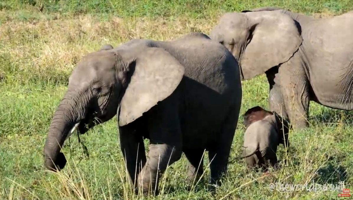
WELCOME TO ZAMBIA
We traveled around Zambia through its top parks to see just how beautiful the country really is.
Czytaj więcej2026/10/23

Spanish Tourism | Tourist information on Spain
Spain's official tourism website · Discover our destinations · Discover our destinations · Not to be missed · Spain Travel Guide, · Other ideas for your trip · Extend ..
Czytaj więcej2026/10/14


Filmy promujące
Promuj regiony
Promocja regionów obejmie swoim zasięgiem zarówno region, Polskę, jak i świat. Zaplanowane działania promocyjne pozwolą dotrzeć do mieszkańców regionu - potencjalnych konsumentów oraz inwestorów w kraju i za granicą.
Panama 2019 | 4K | must see places | travel guide
A clip of our Panama trip in april 2019. The journey was planned as followed: We arrived in Panama City and took the Night Bus to Almirante to get to 0:41 Bocas del Torro
Bethlehem, Palestine: Church of the Nativity
More info about Rick's travels to Palestine: http://www.ricksteves.com/watch-read-... No longer just the little town of Christmas-carol fame, Bethlehem is a leading Palestinian city. Its skyline is a commotion of both crescents and crosses — a reminder that the town, while now mostly Muslim, still has many Christians.

Zapisz się do biuletynu dyplomatycznego


